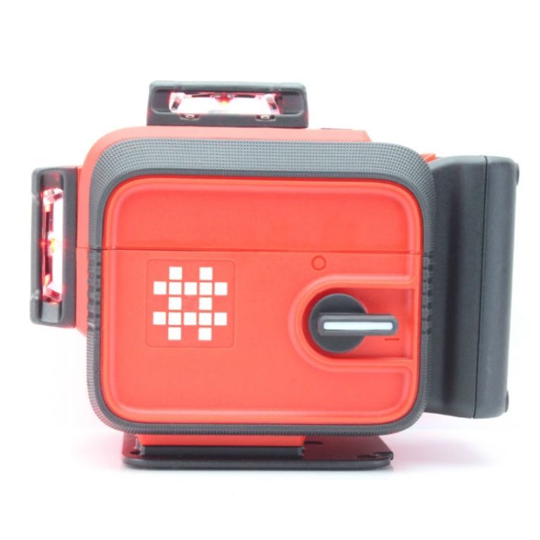
A surveying laser, also known as a laser scanner or LiDAR (Light Detection and Ranging), is a specialized tool used in surveying to accurately measure distances, shapes, and positions of objects by emitting a laser beam and calculating the time it takes for the beam to reflect back, effectively creating a detailed 3D point cloud representation of an area, allowing surveyors to capture precise data about landscapes, structures, and other features with high accuracy and efficiency; this data can then be used to generate detailed maps, plans, and 3D models for various applications like construction, architecture, and heritage preservation.
WE CAN SUPPLY AND INSTALL ANYWHERE IN NIGERIA
OFFICES IN LAGOS, ABUJA, PORT HARCOURT AND BENIN CITY
WhatsApp: https://wa.me/2347035146988
WhatsApp: https://api.whatsapp.com/send?phone=2348025897223
Please CALL: 0703-514-6988, 0802-589-7223,
Email: info@hiphensolutions.com
Web: www.hiphensolutions.com/products
Instagram: www.instragram.com/hiphensolutions
We are Multi-Award Winning company in Technology Solutions, Access Control, Safety, Security and Automation Systems
Overview
Features:
- Used for land surveying and grading
- Provides long-range measurements
- Works with receivers for accuracy
- Can be GPS-compatible
- Often used with tripods