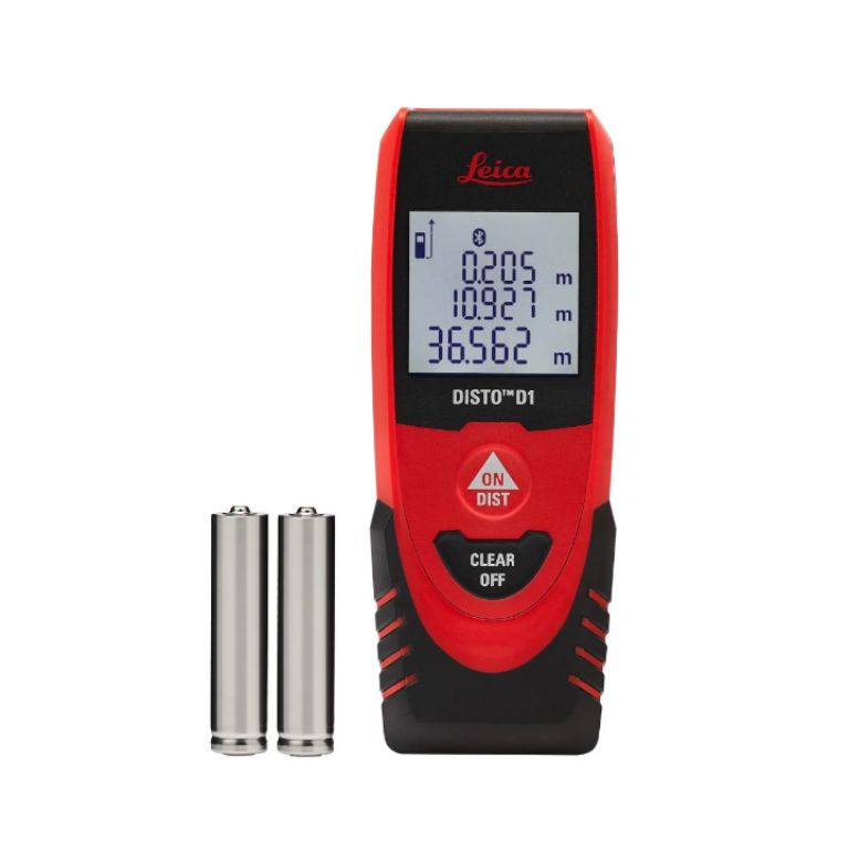
A surveyor’s laser level is a precision instrument used in surveying that projects a visible laser beam, either horizontally or vertically, to establish a reference plane for accurate elevation measurements and alignment, typically mounted on a tripod and used with a laser detector to identify precise points on a surface, allowing surveyors to determine elevations and establish level lines across a site with high accuracy; essentially an advanced version of a traditional spirit level utilizing laser technology for greater precision.
WE CAN SUPPLY AND INSTALL ANYWHERE IN NIGERIA
OFFICES IN LAGOS, ABUJA, PORT HARCOURT AND BENIN CITY
WhatsApp: https://wa.me/2347035146988
WhatsApp: https://api.whatsapp.com/send?phone=2348025897223
Please CALL: 0703-514-6988, 0802-589-7223,
Email: info@hiphensolutions.com
Web: www.hiphensolutions.com/products
Instagram: www.instragram.com/hiphensolutions
We are Multi-Award Winning company in Technology Solutions, Access Control, Safety, Security and Automation Systems
Overview
Features:
- Long-range capability
- High accuracy for land surveying
- Weather-resistant construction
- Tripod and staff compatibility
- Compatible with GPS and total stations